


COLORADO SPRINGS, CO – Winter weather is returning Friday and Saturday, meteorologists say, with cold weather and heavy, wet snow possible in the Pikes Peak region.
The National Weather Service in Pueblo already has issued a winter storm watch for the area, particularly in northern El Paso County, Teller County, Rampart Range and Pikes Peak.
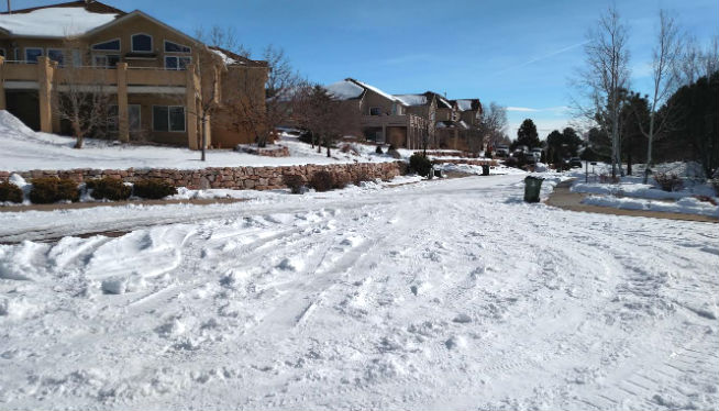
The watch is in effect from Friday evening through 3 a.m. on Sunday, with predicted snow totals of 8 inches possible or 1 to 2 feet at higher elevations.
It’s going to start with rain Thursday, with thunderstorms possible after noon, the service said. Thursday night has a 10 percent chance of showers and thunderstorms before 9 p.m.
Close to 1 p.m. Thursday, Gazette news partner KKTV warned that Gleneagle already was seeing a downpour. “Heads up,” KKTV meteorologist Jordan Sherman said. “Black Forest is next!”
Temperatures Thursday were expected to hover in the 50s, as are Friday’s. Saturday, temperatures plummet to 37 degrees.
Friday has a 10 percent chance of snow before 7 a.m., which is expected to turn into a 30 percent chance of rain after 8 a.m., according to the weather service. The chance of rain is expected to jump to 70 percent by Friday night, with the rain mixing with snow after 10 p.m. and becoming an 80 percent chance of snow after midnight.
“Rain changes to snow Friday night through Saturday,” KKTV reported.
Snow could be wet and heavy, the weather service predicted. That could mean extensive tree and powerline damage, it warned.